Nature’s Fury: The Science Behind Earth’s Most Extreme Weather
We see the images in awe and terror: the terrifying, swirling vortex of a tornado tearing across the plains; the vast, spiral eye of a hurricane staring down from space; a colossal wall of fire creating its own thunderous weather. These phenomena represent nature at its most powerful and destructive. They are not random acts of chaos, but colossal engines of energy, governed by the fundamental laws of physics. Understanding the science behind this fury is the critical first step toward predicting, respecting, and surviving the planet’s most extreme weather.
Table Of Content
The Spinning Giants: Hurricanes, Cyclones, and Typhoons
These are all names for the same powerful phenomenon: a tropical cyclone. The name simply changes based on where it forms. In Australia and the South Pacific, we call them cyclones; in the Atlantic, they’re hurricanes; in the Northwest Pacific, they’re typhoons. But the recipe is always the same.
The essential fuel is warm ocean water, specifically, a surface temperature of at least 26.5°C. This warm water evaporates, sending huge amounts of warm, moist air rising into the atmosphere. As this air rises, it cools and condenses, releasing a massive amount of latent heat—the storm’s power source. This upward rush of air creates an area of intense low pressure at the surface.
To fill this low-pressure void, air from the surrounding high-pressure areas pushes inwards. But because the Earth is spinning, this inflowing air doesn’t travel in a straight line. It is deflected by the Coriolis Effect. In the Southern Hemisphere, the air is deflected to the left, causing the storm to spin in a clockwise direction. This organised spin is the defining feature of a cyclone. As the storm intensifies, a calm, clear “eye” forms at the center where air from high in the atmosphere sinks, creating an eerie oasis in the middle of the storm’s fury.
A surprising fact: An average tropical cyclone can release as much energy in a single day as exploding half a million small atomic bombs. This staggering power is derived entirely from the simple process of warm water turning into water vapour and then back into liquid water.
The Furious Funnel: The Anatomy of a Tornado
While cyclones are vast, lumbering giants born over the ocean, tornadoes are their smaller, more violent cousins born over land. They are the most intense vortices of wind on the planet, and their formation requires a specific set of violent ingredients within a powerful thunderstorm, known as a supercell.
The key ingredient is wind shear. This occurs when winds at different altitudes blow at different speeds or in different directions. Imagine the wind 1,000 feet up blowing much faster than the wind at the surface. This difference in speed creates an invisible, horizontal tube of spinning air in the atmosphere.
The supercell thunderstorm has an extremely powerful updraft. This updraft can act like a giant hand, tilting the horizontal spinning tube of air into a vertical column. This wide, rotating column of air within the storm is called a mesocyclone. As this mesocyclone tightens and stretches downwards—like an ice skater pulling in their arms to spin faster—its rotation speed increases dramatically. If it touches the ground, it becomes a tornado.
The Wall of Fire: The Terrifying Physics of Bushfires
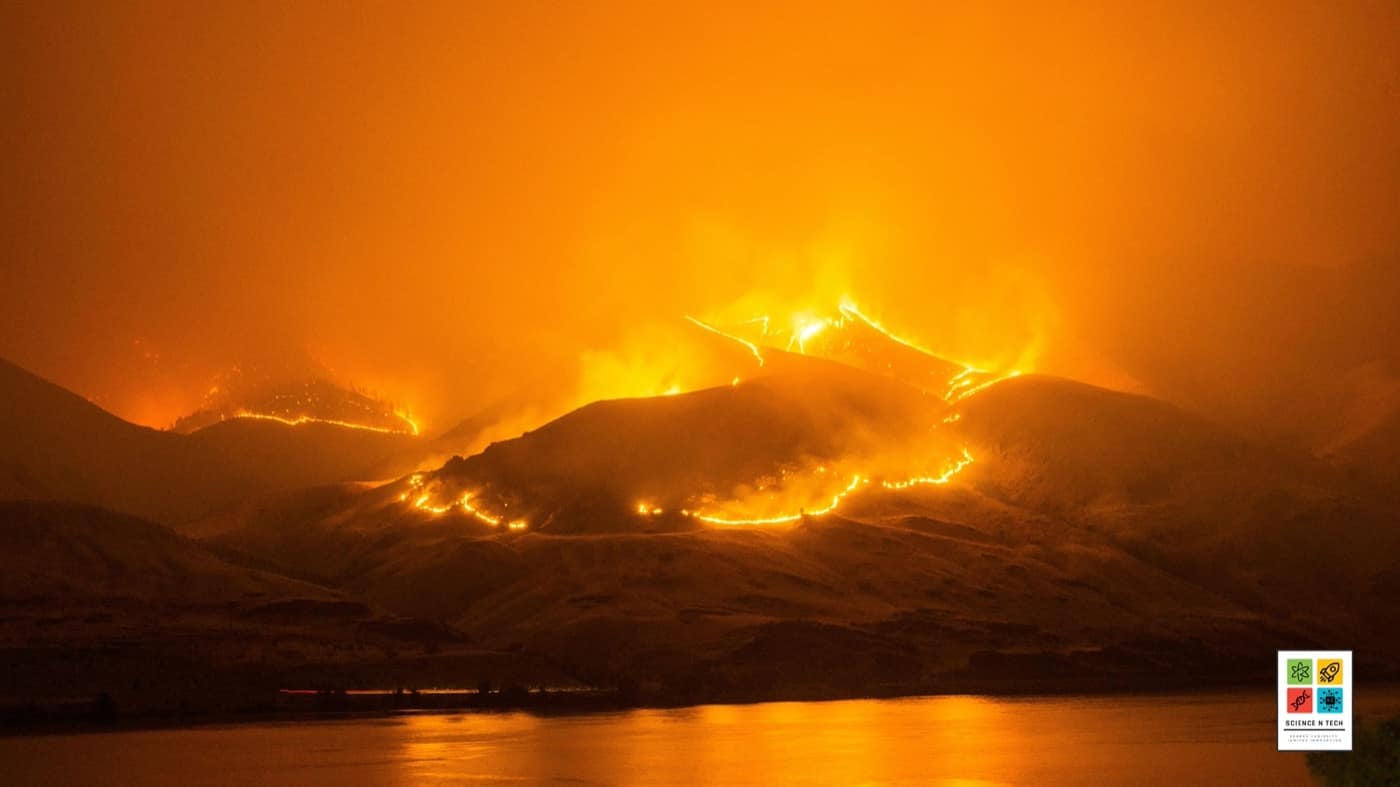
For Australians, there is no more feared weather phenomenon than an out-of-control bushfire. In extreme conditions, a massive fire stops being a simple chemical reaction and begins to create its own violent weather system.
The intense heat from a megafire generates a powerful, buoyant plume of smoke and hot air, creating a massive updraft that sucks in surrounding air like a chimney. If this plume rises high enough and contains enough moisture (either from the atmosphere or from the vegetation it’s burning), it can form a pyrocumulonimbus cloud—literally, a fire-generated thunderhead.
These clouds are terrifyingly unpredictable. They can generate their own lightning, starting new fires miles ahead of the main fire front. They can also produce intense downdrafts of air that hit the ground and spread the fire in all directions at incredible speeds. In the most extreme cases, the intense rising heat and turbulent winds can form a fire tornado (or fire whirl), a spinning vortex of flame, ash, and debris that adds another layer of destructive chaos.
A little-known fact: During Australia’s devastating “Black Summer” bushfires of 2019-2020, the smoke plumes were so enormous they circumnavigated the globe. The pyrocumulonimbus clouds they generated were so powerful they injected smoke into the stratosphere to an altitude higher than commercial jets fly, an atmospheric impact comparable to a moderate volcanic eruption.
These extreme weather events are a natural part of our planet’s climate system. However, as global temperatures rise, the fuel for these engines—warmer oceans, more atmospheric moisture, and hotter, drier landscapes—becomes more abundant. As our planet’s energy balance continues to shift, we are pushing these natural engines into overdrive. How must our science, engineering, and communities adapt to face a future where nature’s fury becomes the new norm?
References
- Bureau of Meteorology (BoM), Australia. (n.d.). About Tropical Cyclones.
- National Oceanic and Atmospheric Administration (NOAA). (n.d.). Severe Weather 101: Tornadoes.
- NASA Earth Observatory. (2020, January 7). Aussie Wildfires Fueled by Intense Heat and Drought.
- Emanuel, K. (2005). Increasing destructiveness of tropical cyclones over the past 30 years. Nature, 436(7051), 686-688.
- Country Fire Authority (CFA), Victoria. (n.d.). Fire Behaviour.


